Calidar Climate and Meteorological World Map
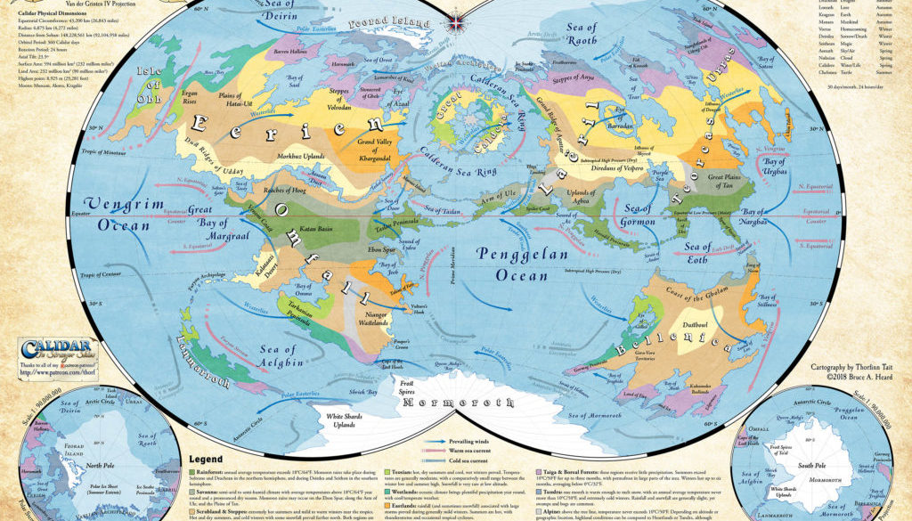
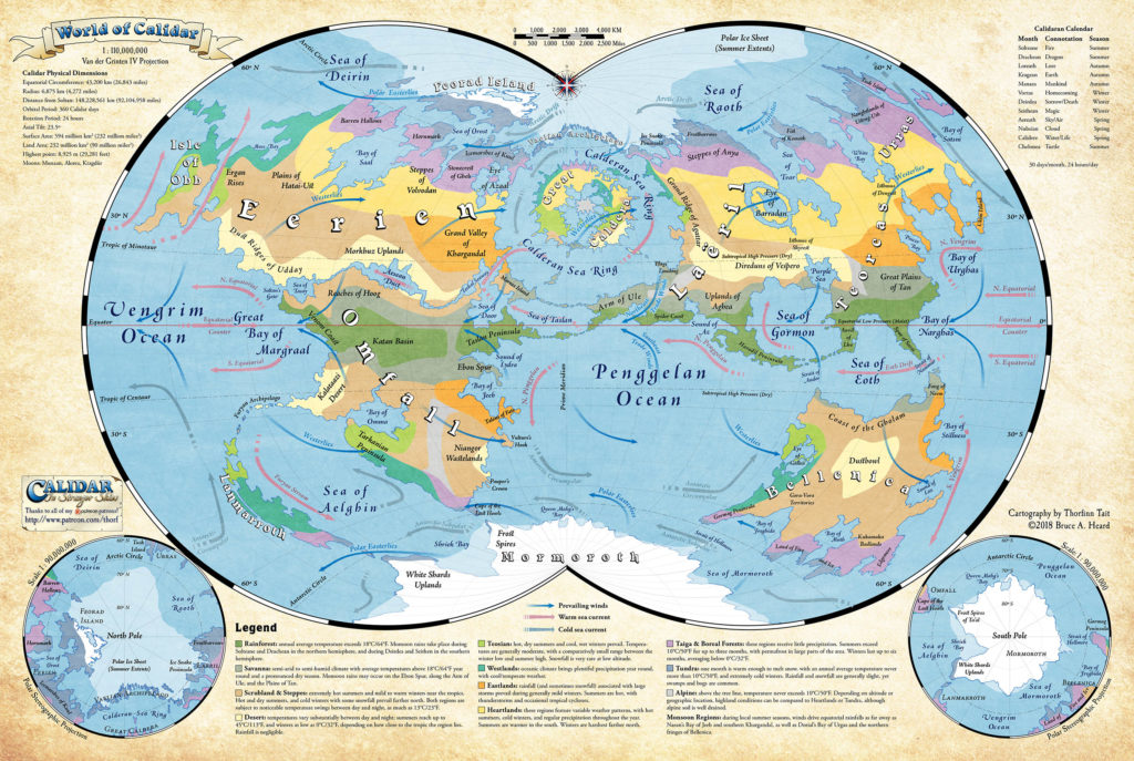
The World of Calidar features four continental masses in addition to the Great Caldera, two oceans, and a great number of seas. Land covers slightly more than one third of the planet’s surface. The Prime Meridian, from the traditional point of view of the old colonial powers, runs through Ellyrion’s imperial capital, Teosopolis, which places the Great Caldera at the center of the map.
from CAL1 In Stranger Skies, by Bruce Heard
Map (January 2018)
This map is now available in printed form at DriveThruRPG.
Sources
- CAL1 In Stranger Skies (2014)
- World Map, p. 70-71
- Meteorological World Map, p. 71
- Polar Maps, p 72-73
Comments
This map is a reimagining of CAL1’s world maps, presenting them in the format I originally envisioned way back in 2013.
The main map uses the Van der Grinten IV projection, which recalls old world maps showing the two hemispheres of the world next to each other. But instead of separating the world into two circles, Van der Grinten IV merges them down the middle — making it uniquely suited to Calidar, whose prime meridian intersects the political centre of the world (and the setting), the Great Caldera.
What this means is that the Great Caldera appears unbroken at the centre top of the map, with all the other continents round about it — perfect for Calidar.
But I didn’t stop there. Next, I added small polar maps to illustrate the extremes of the world, which otherwise get short thrift from the main map. Not really visible here is a major background upgrade since CAL1: I have now vectorised all of the world’s coastlines (greatly helped by the iPad Pro!). This makes it far easier to work with these maps, as they take less memory and system resources — always a pressing concern.
After that, I decided to add in the meteorological data from CAL1. It makes the map a bit busy, but when dealing with climate it’s invaluable to have all of this right there in a single map.
The final touch is some statistics and miscellaneous info around the edges. I’d love to add more of this, but this was what I could find for now. In the top left we have all of Calidar’s main numerical measurements, in both kilometres and miles. (As an aside, it’s pretty obvious from these numbers that the world was actually designed in km.) Then I placed the calendar in the top right for easy reference.
Notes
- Physical Dimensions — the dimensions shown on this map go a little further than those shown in CAL1. These come from preliminary work on the setting done back in 2013.
References
- Calidar World Map post at Patreon
- Calidar World Map release announcement at Facebook
Thanks to:
Jesper Andersen, Diederik van Arkel, Azure Admiral, Hans Peter Bak, Trentin Bergeron, David Chart, Francesco Defferrari, Christopher Desmond, Joshua DiCicco, Paul Dupuis, Andrew Durston, Matthew Fleet, Andrew P Gibson, Bruce Heard, Brian Isikoff, Eric Jackson, Belinda Kelly, Grégory Le Louette, Wendy Lord, Nate Mangion, Matt, Gordon McCormick, Anna B Meyer, Sverre Midthjell, Hervé Musseau, Wolfgang Neckel, Cameron Paine, Thomas Pizard, Dave Poppel, Stephen Rider, Friedrich Röhrer-Ertl, Jeff Scifert, Robert Slaughter, Erin D Smale, Joshua Starnes, Maciej Szydłowski, Devan Sykes, Charles Tait, Sandra Tait, Greg Traeger, Douglas Zielsdorf.


